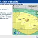
Second Day of Severe Storms on Tap for Wright County, Minnesota
Summer 2025 may well be remembered for a couple of things – warmth, and wet. After a winter that saw St. Michael, Albertville, Hanover and




Summer 2025 may well be remembered for a couple of things – warmth, and wet. After a winter that saw St. Michael, Albertville, Hanover and
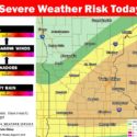
With dew points in the “tropical” range and a massive drop in temperatures in the forecast for midweek, conditions are ripe for severe weather to
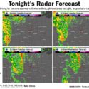
Just three days after an early morning storm left many in St. Michael, Hanover, Buffalo and Monticello without power, northern Wright County might be in
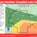
If road construction and rush hour traffic weren’t enough of a recipe for a long Monday commute home, Mother Nature may be ready to throw
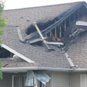
Lighting is suspected in causing a St. Michael house fire early Monday, July 13 after summer storms roared through the area beginning around 10 p.m.
The National Weather Service in Chanhassen has issued a tornado watch for Wright County, effective until 9 p.m. Thursday, May 8. Radar showed a strong
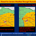
A sweeping storm system is taking shape out of the Eastern Rocky Mountains and Western Plains and headed for the Twin Cities region, with an