UPDATE: St. Michael-Albertville School District Superintendent informed NWCToday this morning a decision on tomorrow’s school day will be made some time soon.
“A decision will be made by late afternoon or early evening and parents will be notified of a delay or closure. In the meantime, I advise parents to consider contingency plans for their children in case there is a change in the school schedule in order to be prepared,” he said.
* * *
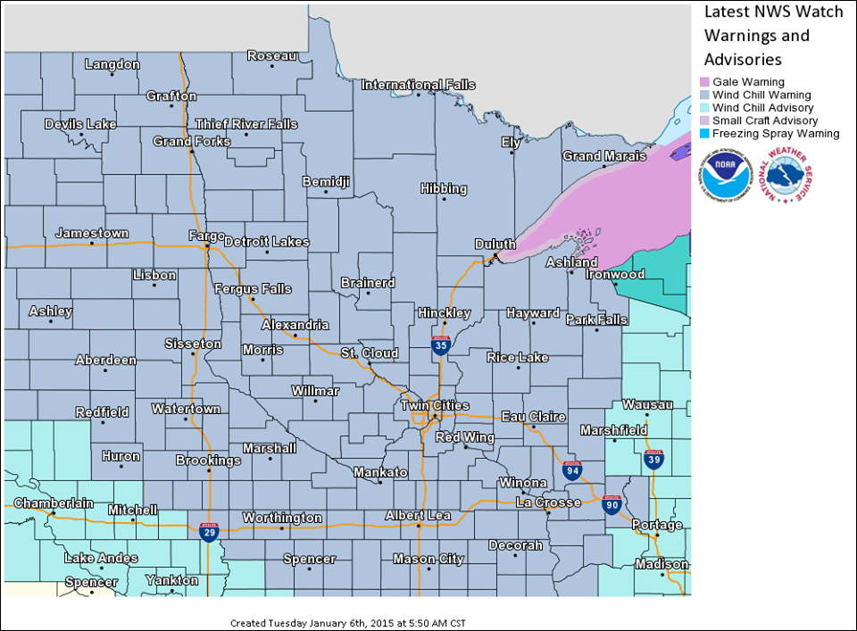
The National Weather Service in Chanhassen has already issued a wind chill warning for the latest blast of windy, cold air expected to sweep across the state early Wednesday morning.
Wind chill values of 35 below or even colder could settle into the Wright County area Wednesday morning, putting Wednesday’s start of the school day into serious question. Minneapolis and St. Paul school districts set their thresholds this year at 35 below wind chill for delaying and/or cancelling school, something that was a direct result of last year’s extreme winter temperatures in January and February.
 While Monday’s frigid start – wind chills were in the teens to 20 below – didn’t warrant any delays or cancellations, Wednesday might push that envelope. St. Michael-Albertville School Superintendent Dr. James Behle said last year, in the midst of some extreme cold that forced cancellations, that he consults with Don’s Bus Service closely to make sure students have safe means of transportation, as well as with superintendents from surrounding districts, to factor into his decision to ultimately delay or cancel classes.
Here’s the warning from the National Weather Service:
KANABEC-SHERBURNE-ISANTI-CHISAGO-WRIGHT-ANOKA-WASHINGTON-CARVER-
SCOTT-DAKOTA-RICE-GOODHUE-POLK-BARRON-RUSK-ST. CROIX-PIERCE-DUNN-
PEPIN-CHIPPEWA-EAU CLAIRE-
INCLUDING THE CITIES OF...MORA...ELK RIVER...CAMBRIDGE...
CENTER CITY...MONTICELLO...BLAINE...STILLWATER...CHASKA...
SHAKOPEE...BURNSVILLE...FARIBAULT...RED WING...AMERY...
BALSAM LAKE...RICE LAKE...BARRON...LADYSMITH...HUDSON...
NEW RICHMOND...RIVER FALLS...PRESCOTT...MENOMONIE...BOYCEVILLE...
DURAND...PEPIN...CHIPPEWA FALLS...BLOOMER...EAU CLAIRE...ALTOONA


...WIND CHILL WARNING IN EFFECT FROM 2 AM TO 11 AM CST
WEDNESDAY...

THE NATIONAL WEATHER SERVICE IN TWIN CITIES/CHANHASSEN HAS ISSUED
A WIND CHILL WARNING...WHICH IS IN EFFECT FROM 2 AM TO 11 AM CST
WEDNESDAY.

* WIND CHILL VALUES...GENERALLY FROM 35 TO 40 DEGREES BELOW ZERO.

* TIMING...THE WORST CONDITIONS WILL BE FROM 4 AM TO 10 AM.

PRECAUTIONARY/PREPAREDNESS ACTIONS...

A WIND CHILL WARNING MEANS THE COMBINATION OF VERY COLD AIR AND
STRONG WINDS WILL CREATE DANGEROUSLY LOW WIND CHILL VALUES. THIS
WILL RESULT IN FROSTBITE AND LEAD TO HYPOTHERMIA OR DEATH IF
PRECAUTIONS ARE NOT TAKEN.